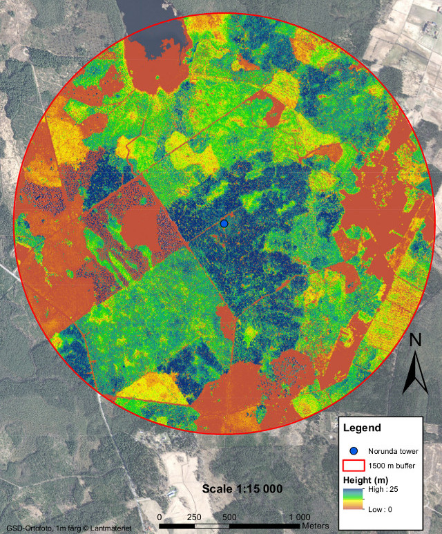
Location
The Norunda research station (60°05'N, 17°29'E, 46 m asl) is located about 30 km north of Uppsala, in the southern part of the boreal forest zone. The area is flat with small-scale variations in altitude (up to 10 m).
General
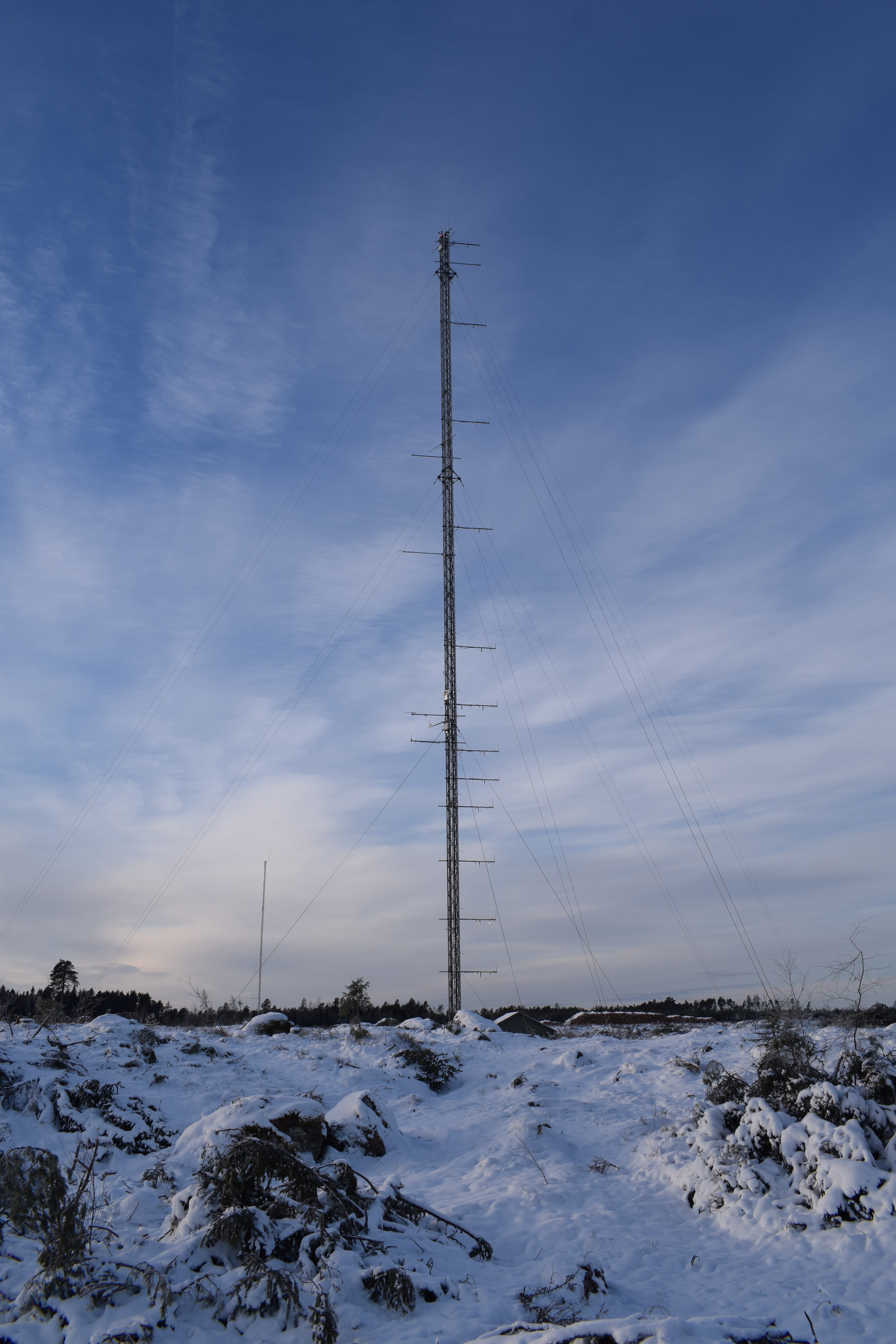
The site was established in 1994 and is since then continuously used for studies of exchanges of greenhouse gases (CO2 and CH4), energy, and water using micrometeorological methods (eddy covariance and gradient). Norunda hosts a combined ICOS Class 1 Atmosphere (NOR) and Class 2 Ecosystem (SE-Nor) station. Norunda Research Station also hosts the ACTRIS Sweden station Norunda operated by Stockholm University (Radovan Krejci) and spectral measurements within the SITES-affiliated research network NordSpec operated by Lund University (Lars Eklundh).
Staff and Contact
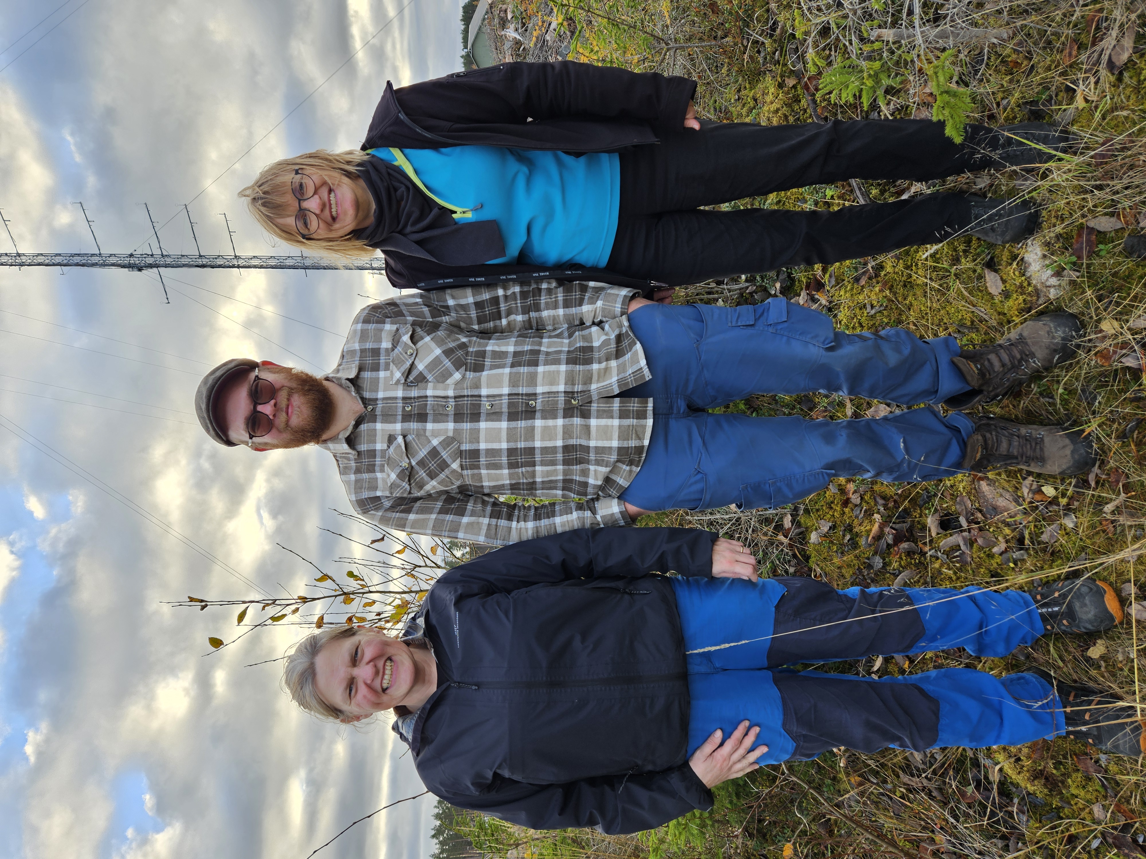
- Ecosystem station PI: Natascha Kljun
- Atmosphere station PI: Irene Lehner
- Research engineers: Irene Lehner, Gunnar Bergström
Contact: norunda@icos-sweden.se
Data download
Greenhouse gas related data, meteorological data and vegetation data from Norunda can be downloaded from the ICOS Carbon Portal: ICOS Level2 data from the Atmosphere Station (GHG concentrations, air temperature, wind), ICOS Level2 data from the Ecosystem Station (flux data, meteorological data, soil meteorological variables, ancillary data), and ICOS Level 1 Near Realtime Data.
Information about the boundary height of the last days can be viewed at the webpage of the EUMETNET - e-profile project webpage and downloaded from the CEDA Archive.
Aerosol data measured at Norunda can be obtained from the ACTRIS data portal.
Geology and Soil
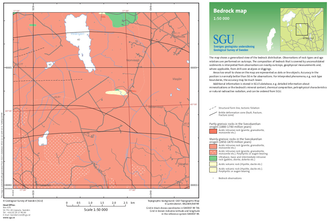
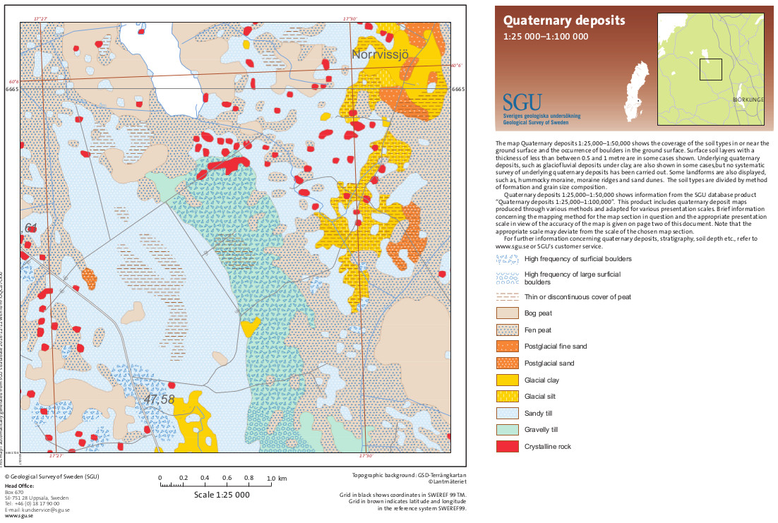
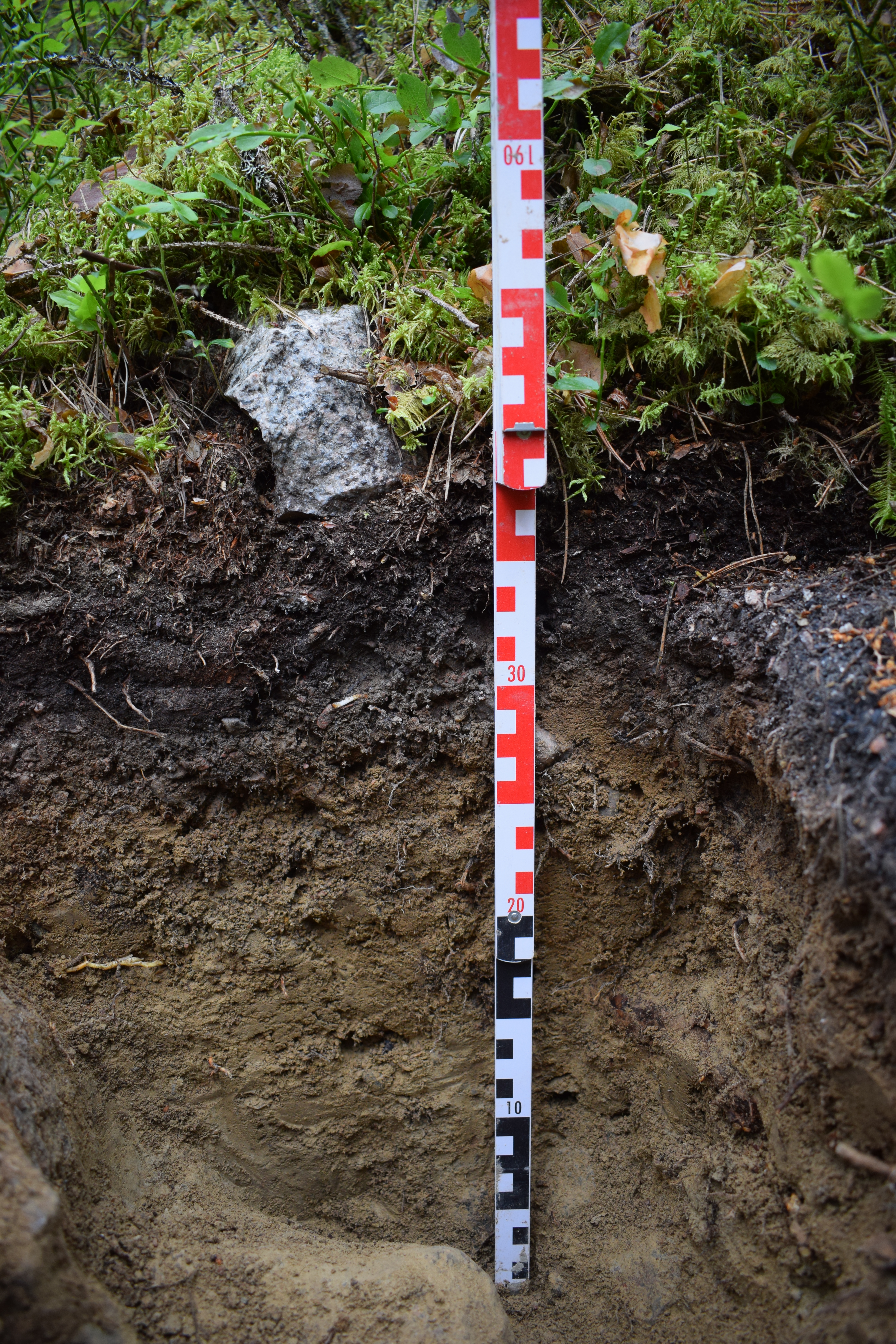
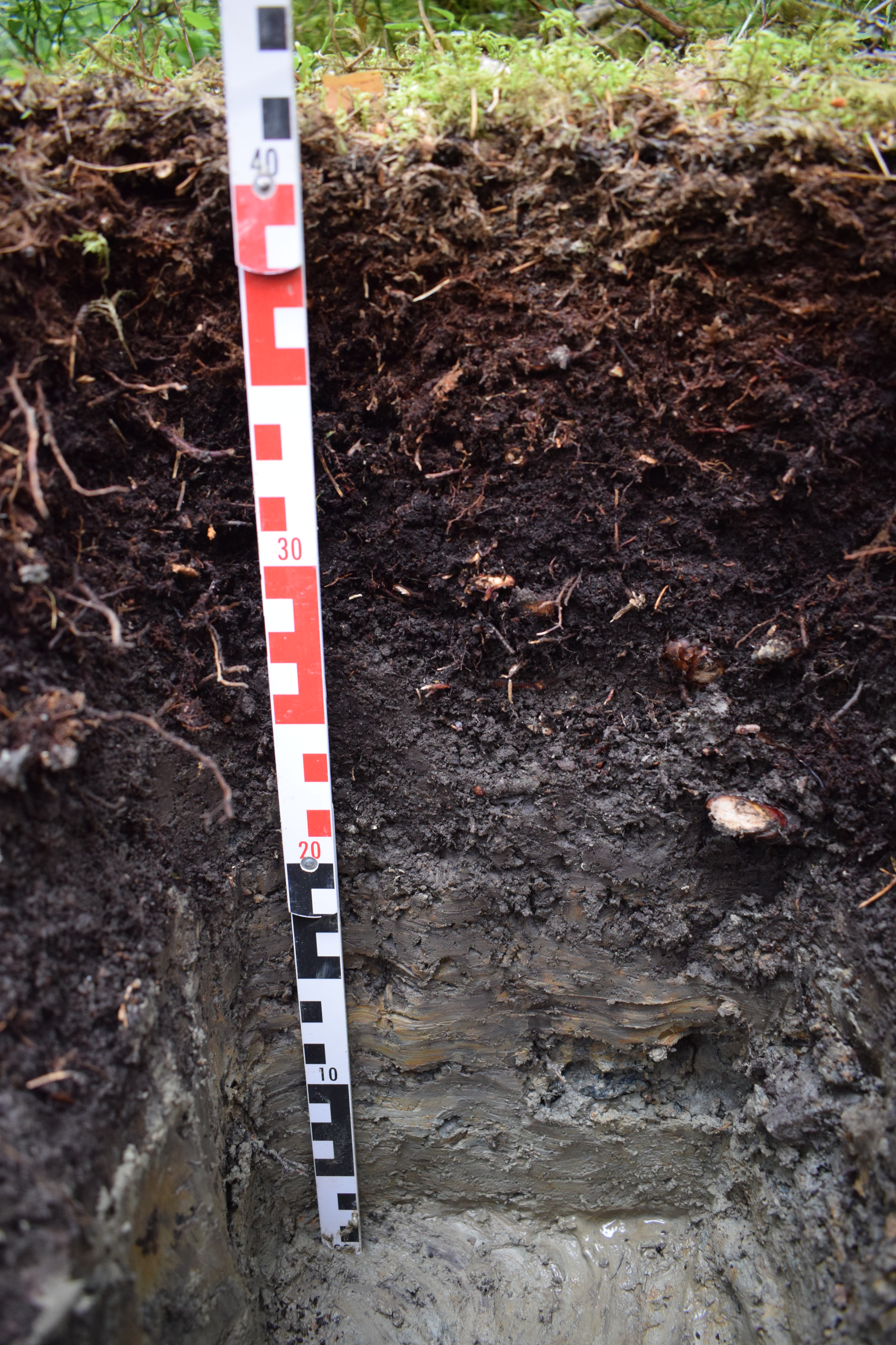
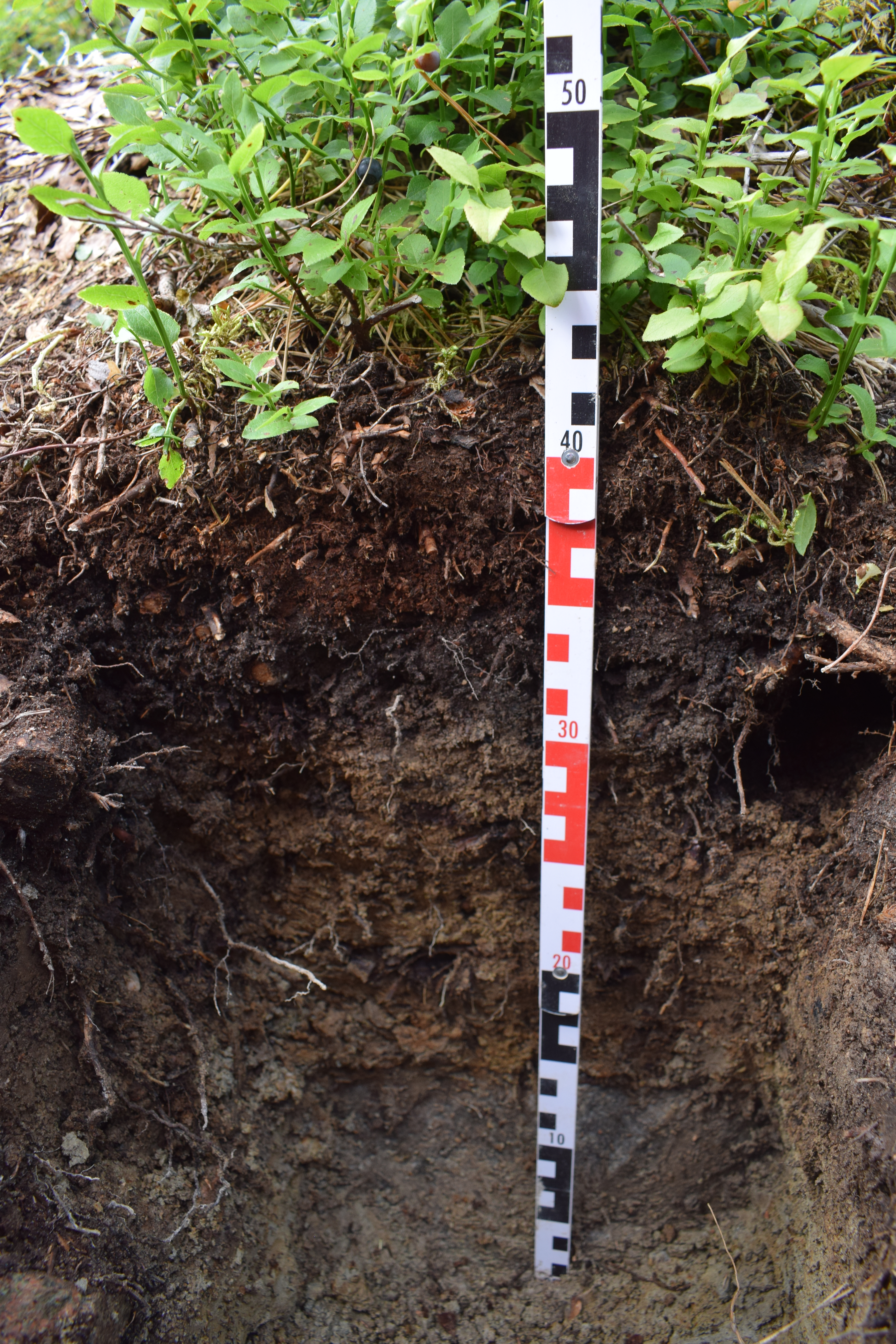
The bedrock is characterised by granite and gneiss (incl. leptite) from the Svecokarelian orogen (2000-1800 million years ago). The soils are sandy-loamy tills with a high content of stones and blocks, characterized as podzolised dystric regosols, with a thin organic layer on top. The area is rich in organic soils with surface peat cover and fens.
Because of the presence of stones and blocks the soil surface is highly uneven.
Vegetation
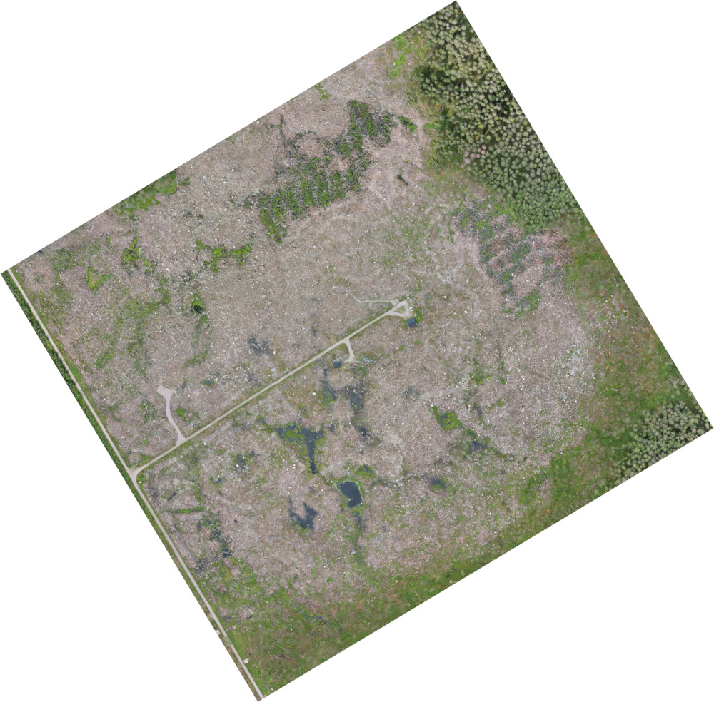
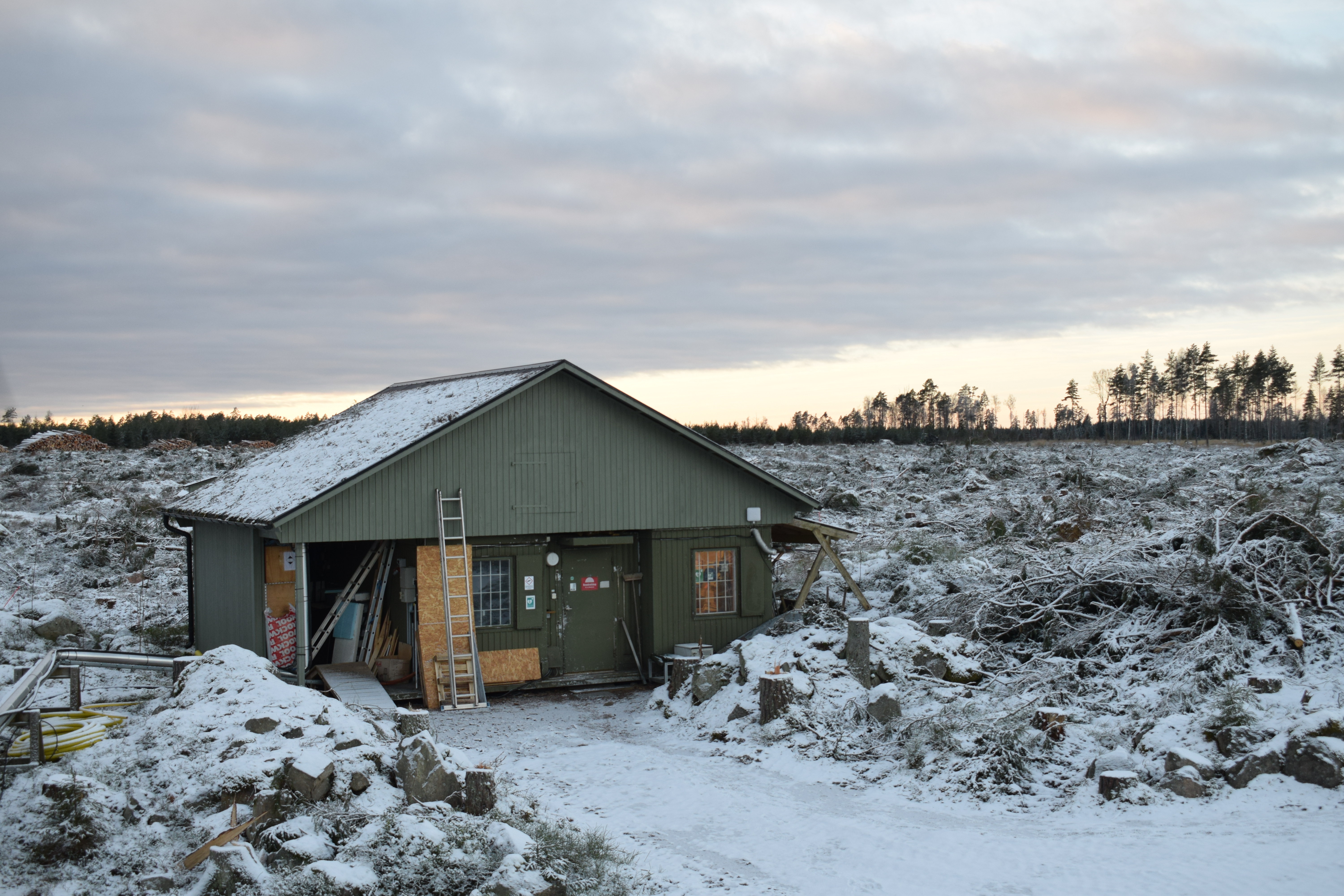
During late summer/autumn 2022 an area 300 m around the main tower (30.5ha) was turned into a complete clear-cut. All (>14000) of the 100-130 years old stand of Scots pine (Pinus sylvestris L.) and Norway spruce (Picea abies L.) and a small fraction of deciduous trees as well as the understory was logged. Only the stems were removed (in total ~11000m3fpb, ~320m3fpb/ha); branches and tree tops as well smaller trees were left on-site. The shrub layer before the clear-cut was dominated by bilberry, lingonberry, moss, and flowers. Soil scarification was done in autumn 2023 and spring 2024. In late spring 2024, the forest was replanted with Scots pine (about 2500 plants/ha). The shrub layer changed significantly after the clear-cut: a large part of bilberry and mosses withered while fraction of raspberry and grasses increased. The forest has been managed for at least the last 200 years. It is owned and managed by the common of the Norunda jurisdictional district (Norunda Härad). In the late 19th century, a large area around the site was drained by ditching, which lowered the average water table and increased productivity.
Detailed information about pre-clear cut vegetation
Climate
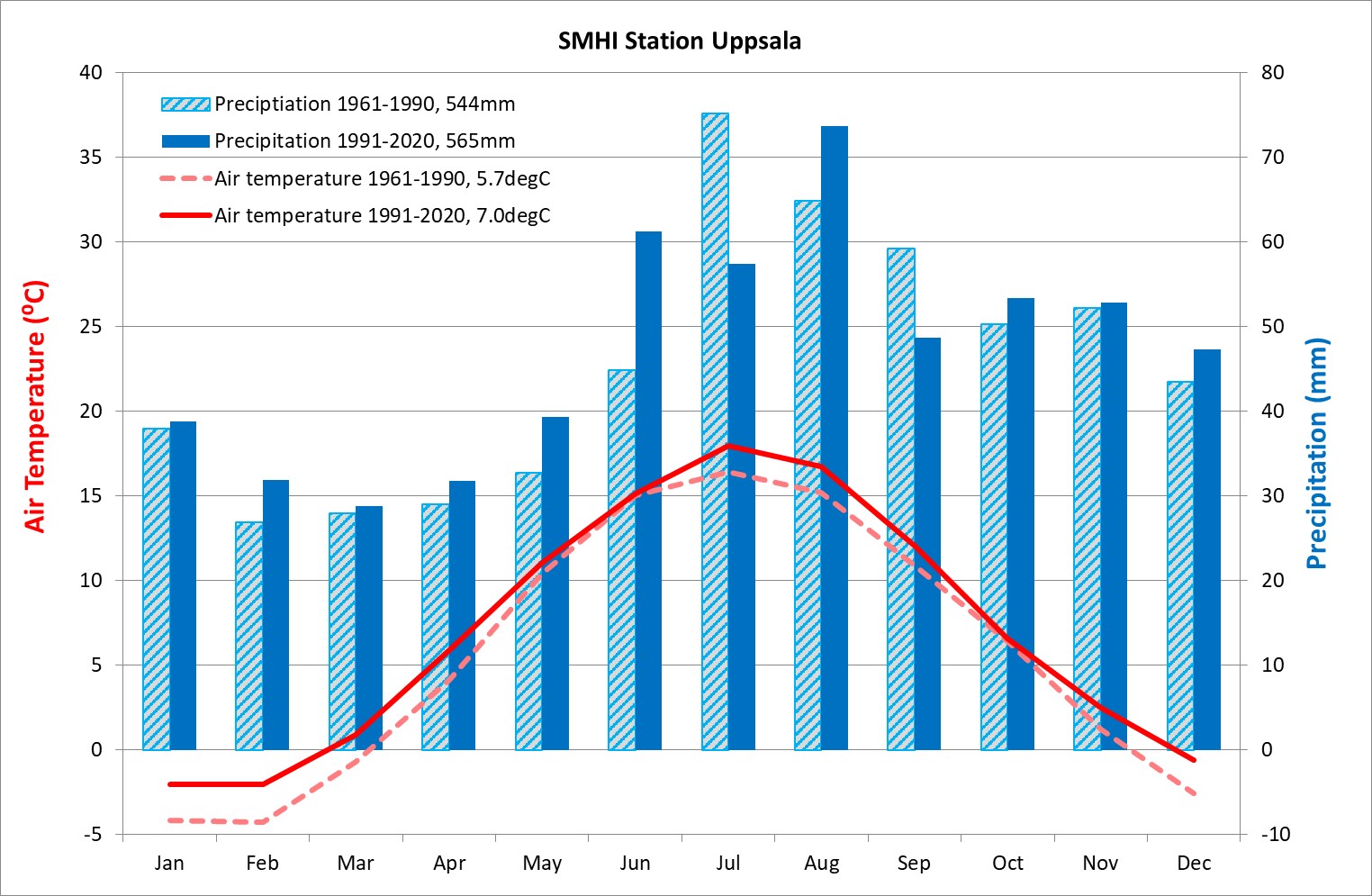
Data for the 1991-2020 climatological normal from the SMHI station Uppsala characterizes the climate as a Dfb-type (after Köppen), i.e. humid continental with moderate summers and cold winters. Mean annual air temperature is 7.0°C and mean annual precipitation sums up to 565mm. Compared to the 1961-1990 climatological normal the temperature increased by 1.3°C with the biggest changes in winter while precipitation increased with +4% with biggest changes in summer. Southwest is the prevailing wind direction in Norunda.
|

Measurements
Measured Atmosphere station variables
Variables and measurement heights included in the Atmosphere station program at Norunda are listed on the Atmosphere station introduction page: follow this link to the page
Measured Ecosystem station variables and summary of station parameters
Variables and measurement heights included in the Ecosystem station program at Norunda are listed on the Ecosystem station introduction page: follow this link to the page
Non-ICOS measurements
The Norunda research site also hosts a station for the national infrastructure ACTRIS Sweden. and spectral measurements from the SITES-associated network NordSpec. It also hosts other complementary measurements from various research projects.
Additional research at the site focuses on exchanges of greenhouse gases (carbon dioxide CO2, methane CH4, water vapour H2O, and laugh gas N2O) and its driving forces in all components of a forest ecosystem. BVOC measurements with focus on various topics and using different methhods have been ongoing since 2014.
For more detailed information please contact the station team.
Facilities
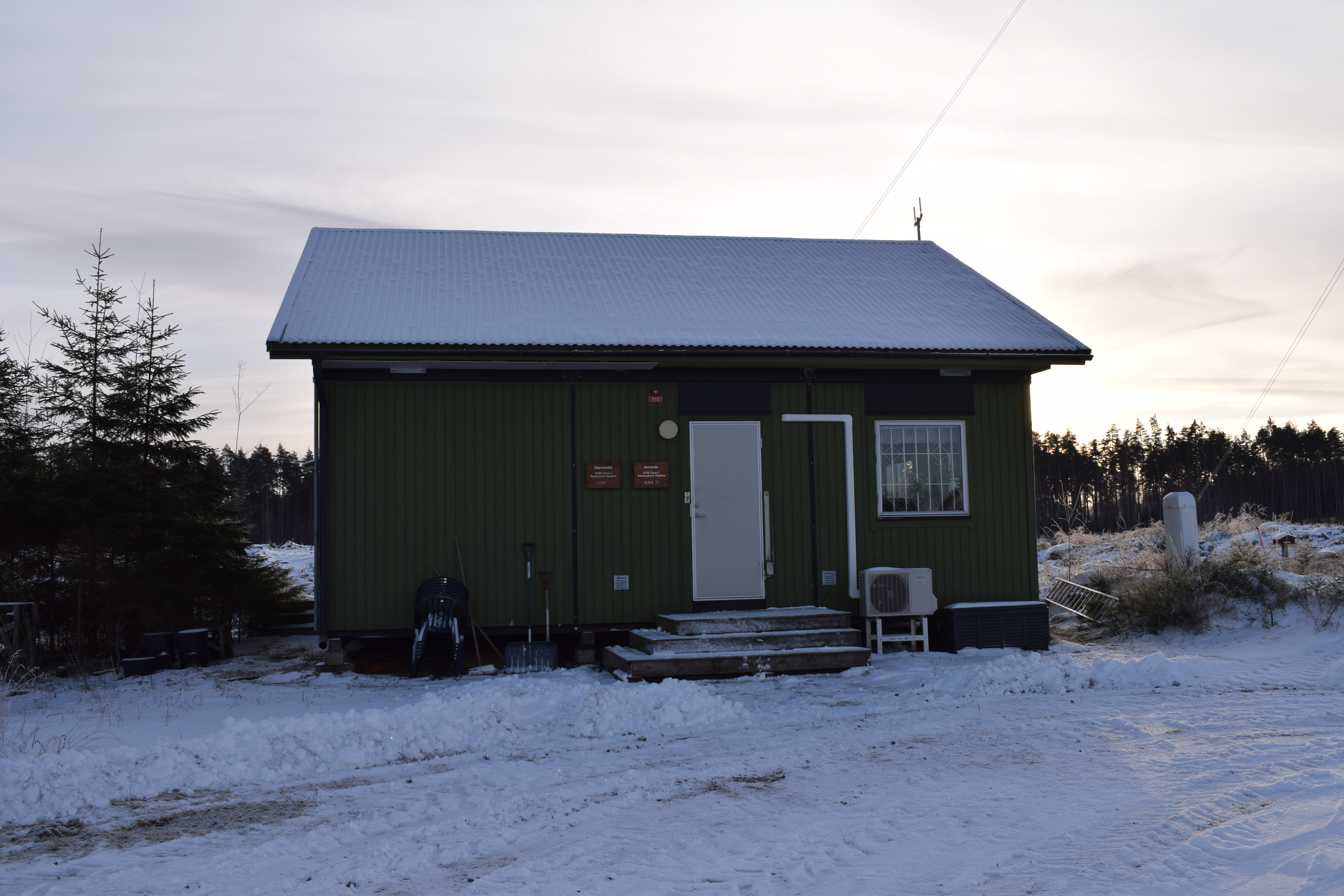
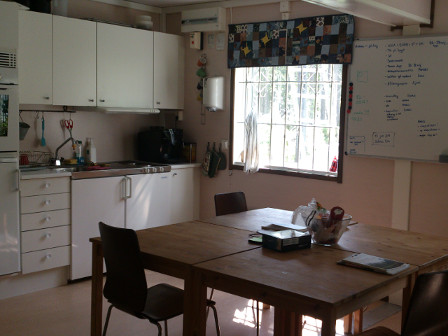
Besides several small cabins for equipment Norunda has a main house and a workshop building. The main house is equipped with three bedrooms (total four beds), a shower/toilet bath room, and a fully equipped kitchen that is also used as office/meeting room. There is also a simple lab with a separate entrance.
|
|
|
References
- Lindroth, A., Holst, J., Heliasz, M. et al., 2018: Effects of low thinning on carbon dioxide fluxes in a mixed hemiboreal forest. Agricultural and Forest Meteorology, 262:59-70, DOI:10.1016/j.agrformet.2018.06.021
- Lindroth, A., Holst, J., Linderson, M.L. et al., 2020: Effects of drought and meteorological forcing on carbon and water fluxes in Nordic forests during the dry summer of 2018. Philosophical Transactions of the Royal Society B, 375(1810), DOI:10.1098/rstb.2019.0516
- Islam, Md.R., A.M. Jönsson, J. Bergkvist, F. Lagergren, M. Lindeskog, M. Mölder, M. Scholze, N. Kljun, 2024: Projected effects of climate change and forest management on carbon fluxes and biomass of a boreal forest. Agricultural and Forest Meteorology, 349}, 109959, DOI:10.1016/j.agrformet.2024.109959
ICOS ETC labelling report:
